About Chakrata
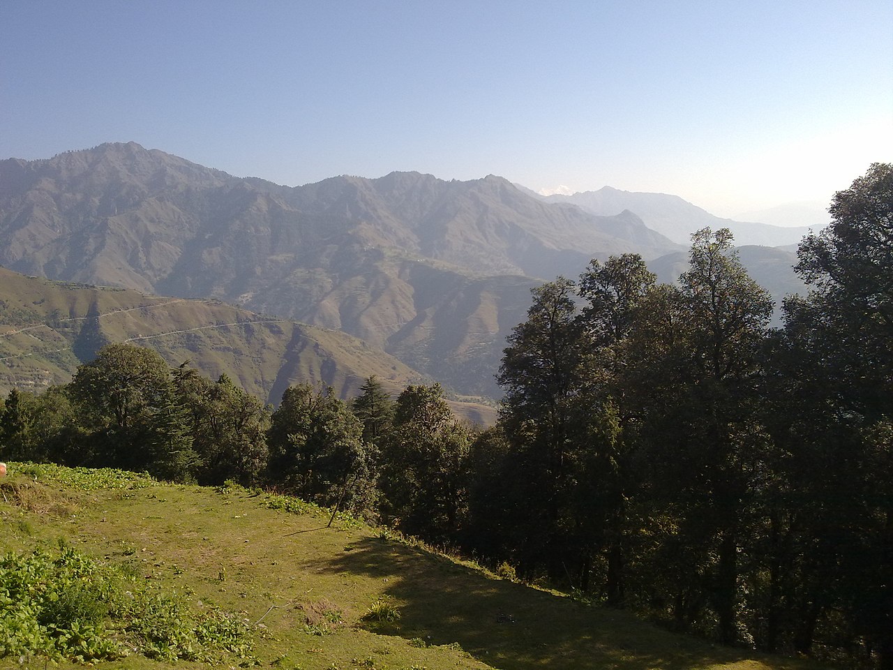


Overview
Best Time to Visit Chakrata
Plan your trip around the right season
Why visit
Clear ridge views, dry forest trails and very few crowds.
Keep in mind
Evenings turn cold and stays are limited, so book ahead.
Why visit
Pleasant weather and rhododendron in bloom in spring. Good for Moila Top and Deoban walks.
Keep in mind
Haze can soften the mountain views in early summer.
Why visit
Snow on the higher ridges and crisp winter views.
Keep in mind
Very cold, and snow or ice can close the roads to Deoban and Budher.
Why visit
Tiger Falls is at full flow and the forests are lush.
Keep in mind
Landslides are common on the Kalsi road, and the trails get slippery.
Why visit
Clear ridge views, dry forest trails and very few crowds.
Keep in mind
Evenings turn cold and stays are limited, so book ahead.
Why visit
Pleasant weather and rhododendron in bloom in spring. Good for Moila Top and Deoban walks.
Keep in mind
Haze can soften the mountain views in early summer.
Why visit
Snow on the higher ridges and crisp winter views.
Keep in mind
Very cold, and snow or ice can close the roads to Deoban and Budher.
Why visit
Tiger Falls is at full flow and the forests are lush.
Keep in mind
Landslides are common on the Kalsi road, and the trails get slippery.
How to Reach Chakrata
Intercity connectivity and travel options
Dehradun railway station is 87 km away and Jolly Grant airport 113 km. From Dehradun the road climbs via Vikasnagar and Kalsi, about 3 hours. By road Chakrata is about 330 km from Delhi, around 7 to 9 hours.
Getting Around Chakrata
Local transport and practical tips
Local transport
Buses and shared taxis run from Dehradun and Vikasnagar. Hire a local taxi in Chakrata for Tiger Falls, Deoban and Budher.